Drowned, Drained, Swamped & Bogged Down:
Initiating A Creative Exploration Of Mythterious Scottish Marshes & Wetlands
Landscape 4: Harris, Lewis & Scalpay, OUTER HEBRIDES
Off the west coast of Scotland, the Isle of Lewis and Isle of Harris form the main island in the Outer Hebrides. Dramatic landscapes, a unique Gaelic culture and a fascinating history. Scalpay is a small island connected to Harris by a bridge, with a rich fishing and crafts heritage.
Habitats identified: Wet heath, wet grassland, peat bog, saltmarsh, machair.
Read about my landscape visit below and view my creative responses here.
I flew from Glasgow Airport to Stornoway, the main town of the Western Isles and the capital of Lewis and Harris. Flying in on a grey drizzly day, I crossed a windswept treeless landscape, dotted with small hamlets and fishing villages. I had left Glasgow is bright June sunshine, but this felt like a different season altogether. As the plane flew low over a tidal estuary into the airport, I could see dark lines in the earth - peat cutting.
I had come to the Western Isles specifically for one type of wetland habitat which can be found in few other places - Machair. More about that later. For now, I had to meet my host Suzanne Lambert, a childhood friend and artist, originally from Derbyshire. Suzanne was kindly letting me stay with her and her family in her home on Scalpay, about an hour’s drive from Stornoway.
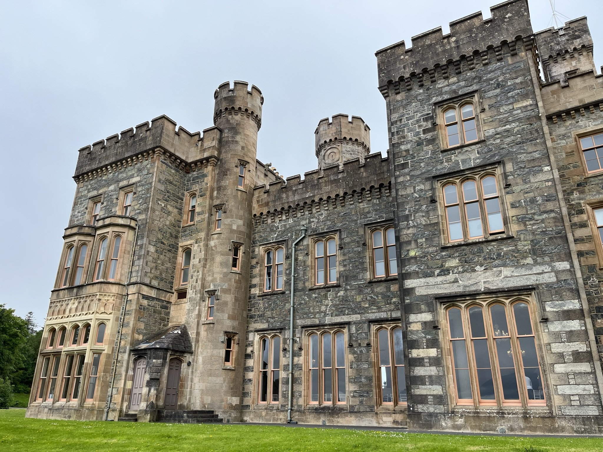
We stopped in the town to grab some supplies - it is the only town of any significant size in the entire island, but even then options are rather limited. We stopped for coffee and cake at Lews Castle, overlooking the habour and took a short walk in the grounds, which contain a giant Neolithic Cairn.
The original Stornoway castle was built in the middle ages and the Seaforth Lodge in the 1600s. The gothic-revival style castle now here dates from the mid-1800’s. In 1844 wealthy businessman James Matheson bought the Isle of Lewis for more than £190,000 from the bankrupt estate of the Mackenzies of Seaforth. He “re-invented” the natural and built landscape of the grounds, including moving cattle farmers off low-lying areas and draining the land. Thousands of tons of soil was brought from the mainland so that trees could be grown. Matheson funded his grand plans with a fortune amassed during the first Opium War with China, who were trying to abolish the trade of opium due to its effects. He presided over a period where clearances accelerated.
Thankfully the grounds have been in community ownership since 1923, shortly after William Hesketh Lever purchased the Isle of Lewis 1918 for £143,000 in 1918. Lever had established the enormously successful soap business (now Unilever). He modernised the Castle and made many improvements including installing electric lighting, central heating and numerous bathrooms. He embraced philanthropic principles and gifted the parish of Stornoway, including Lews Castle and 64,000 acres of land to the people of Stornoway parish. Stornoway Trust was formed to manage the new public estate on the behalf of the community. The castle was used as a naval hospital in WWII and as a College from the 1950s to 1990s. The Castle is now completely unoccupied but attracts tourists from around the world, many of whom come to enjoy the museum and archive which opened in 2016 (more on that later). It is also a good spot for coffee, cake and a walk.
The drive across Lewis to Suzanne’s home at Scalpay was spectacular, even in the fog and low cloud. Gaps in the mist reveal enormous rocky landscapes complete with boulders like giant’s footballs. Just south of Baile Ailein a brown sign points to a distinctive cairn - the Memorial to the Heroes of Lochs. Lochs refers to the area's name rather than the Cottish water body. The memorial commemorates a 19th century land struggle. The Pairc Land Raiders monument is dedicated to the memory of the people who challenged their landlords.
I learn more about it from www.visitouterhebrides.co.uk:
In the 1880s the owner of the Lewis estate was Lady Mary Matheson, the widow of Sir James Matheson, 1st Baronet and the second-largest landowner in Britain, who had purchased the estate in 1844. Lady Matheson refused to listen to numerous pleas from the landless families of Pairc, who were desperate to return to their families' former villages. Instead, in 1886 she converted her husband's 42,000-acre sheep farm in Pairc into a sporting deer park. On 22 November 1887, crofters marched into the Pairc deer forest. The authorities acted quickly in support of Lady Matheson, and a detachment of Royal Scots Guards was sent to Lewis with support from British Navy vessels carrying marines.
Sheriff Fraser read the raiders the Riot Act. The raiders dispersed as were well aware that they could not hold Pairc by force, and feeling that they had made their very public point. However, six of the leaders were arrested and sent for trial at the High Court in Edinburgh, but later aquitted.
The raiders had drawn attention to the plight of landless crofters and cottars. It took a long time for meaningful reform to the Highland land laws, but the Pairc Deer Raid and similar efforts on the islands, eventually forced changes in the law and helped re-establish the rights of crofters.
Continuing our drive, another unusual monument catches the eye. The Bonnie Prince Charlie monument is in the village of Arivruach to mark where he landed in 1745, following the Battle of Culloden.
Again www.visitouterhebrides.co.uk provides useful insight:
Arriving on the Isle of Eriskay from France, his aim was to regain the throne of Great Britain on behalf of his father, James Stuart. The Highland clan chiefs were dismayed that he had brought no French troops, few arms and very little money to fund his campaign. Some refused outright to give him any support. After failing to convince him of the futility of his mission some clan chiefs joined him against their better judgement. The consequences were to prove disastrous to the Highland clans and the Gaelic culture.
After his defeat at the Battle of Culloden, Bonnie Prince Charlie fled back to the Outer Hebrides, this time with a bounty of £30,000 on his head. He hid in the Outer Hebrides from 27th April 1746 till he left "Over the sea to Skye" with Flora MacDonald on 28th June 1746.
Thinking he could make his escape from Lewis, he travelled to Scalpay and then sailed to Arivruach in Lochs on 4th May 1746. It was just 18 days after the disastrous battle of Culloden where over 1200 highlanders had died. He went on foot to Arnish, just outside Stornoway and was given shelter by Lady Kiloun. He then sailed south to Eilean Lubhard and then back to Uist where he made his final escape. Regardless of their loyalties, the Hebrideans did not betray him to the authorities.
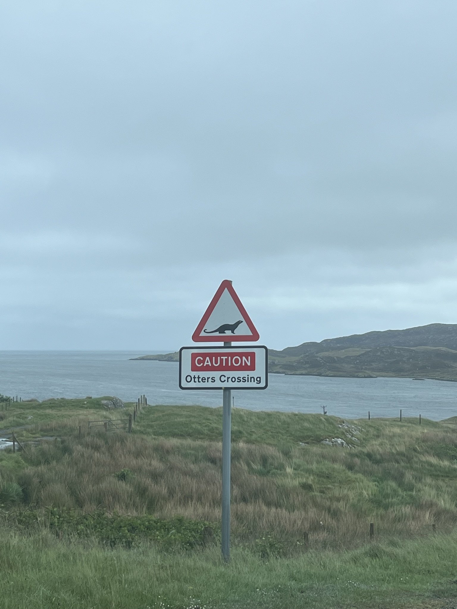
This place was steeped in history. I should also look out for otters!
The next morning had a brighter start. Opening my curtains onto a view of undulating islands, everything appeared calm. Seabirds (gannets?) were diving far offshore. Outside Suzanne’s home were piles of pebbles and sticks, for her work making jewellery, sculpture and artwork from locally-sourced materials. This was a crafters paradise. We set out for Suzanne’s studio.
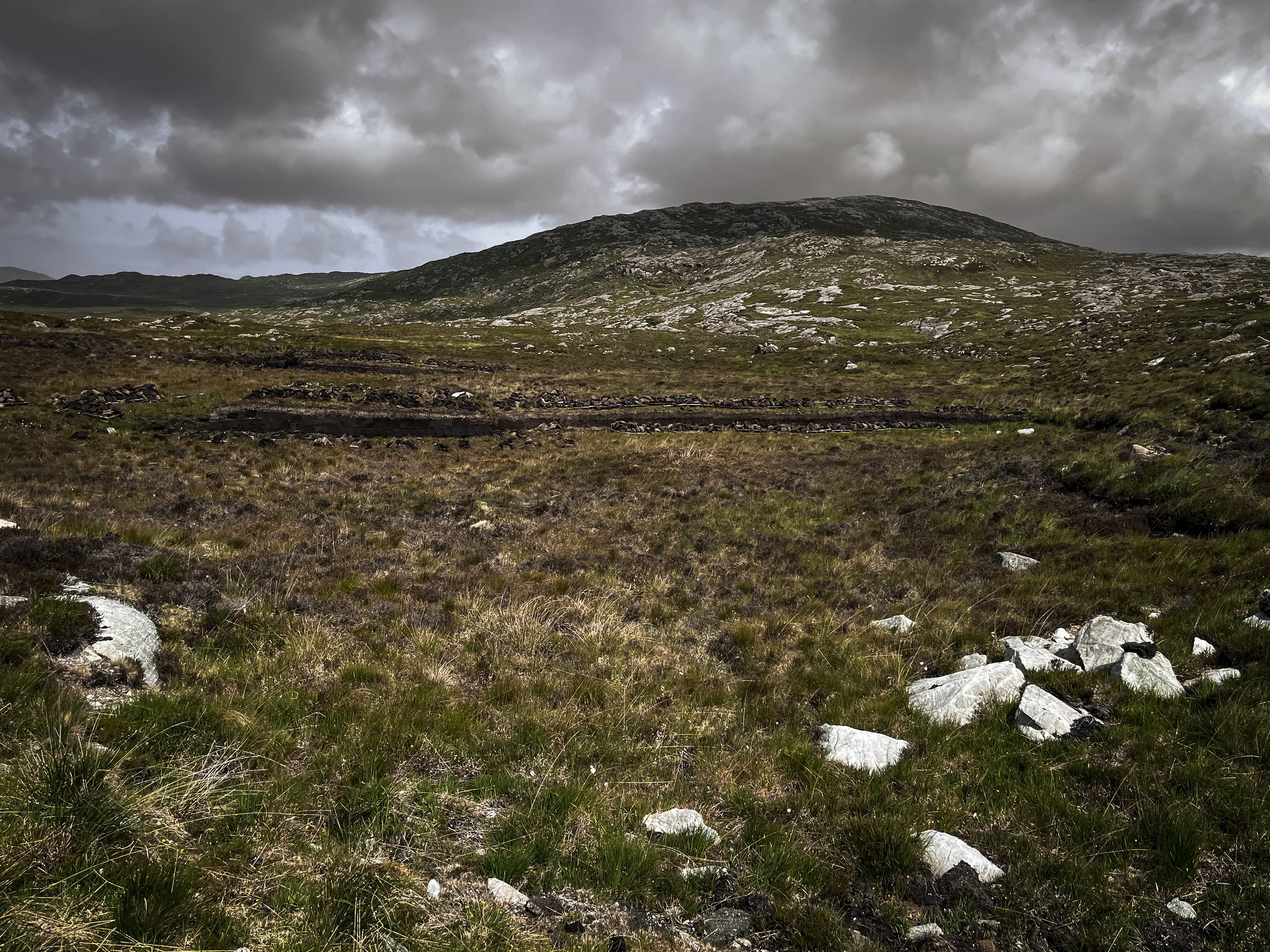
On the drive from Scalpay to Suzanne’s studio at Seilebost (Harris), we passed further evidence of peat cutting, as I had seen from the plane.
There was something timely about this, as I had recently seen a headline that Flow Country of Caithness and Sutherland in the far north of Scotland, was due to be given UNESCO world heritage status after an almost 40-year campaign - one of the most intact and extensive blanket bog systems in the world granted the same status as the Great Barrier Reef. The peat was to thank.
Here is the Outer Hebrides, this valuable natural resource was still used as a traditional fuel. Stacks of peat dotted the landscape. Despite modern alternatives, it was still an important part of the economic balance of crofting and island life. Peat would be dried and stacked ready for winter.
Most of the peat in this area is 3,000-4,000 years old. It reaches a thickness of 20ft in places. It is free to those who have the right to cut it, but highly labour-intensive. The cutting of the peat is highly organised - only small elements of the moor are allocated for cutting and each property has its own “allotted” peat bank, usually with a generations-old Gaelic name.
The best banks have the deepest profiles, as this produces the densest and blackest peat with the highest carbon content which means it burns hotter and longer.
I felt conflicted. I was here to see some of the rarest and most threatened Scottish habitats and wildlife. Peat is hugely important to the environment, acting as a carbon store, wildlife habitat and flood controller. Across Scotland, great work is being done to restore, conserve and manage the peatlands as part of combatting climate change and championing environmental conservation. Whatever your views on climate change, healthy peatlands can reduce flood risk by slowing the flow of water from the uplands and by providing floodplain storage in the lowlands - reason enough to keep it in the ground.
Yet here it was being torn up to burn - in a culturally-valuable and centuries-old tradition. This was not heavy industry. It was manual craft-like work, using a tairsgear (spade). It was small-scale and localised. How much carbon had my plane ride to the island omitted?
Peat cutting is part of the cultural heritage of this place, bringing families and communities together. The final peat stacks can even reflect the area and family in their design - temporary works of art in themselves.
I felt thankful that alternatives are now available. The world is changing. How much longer would this tradition continue I wondered? Would generations after me see stacks of peat laid out in the sun to dry like this?
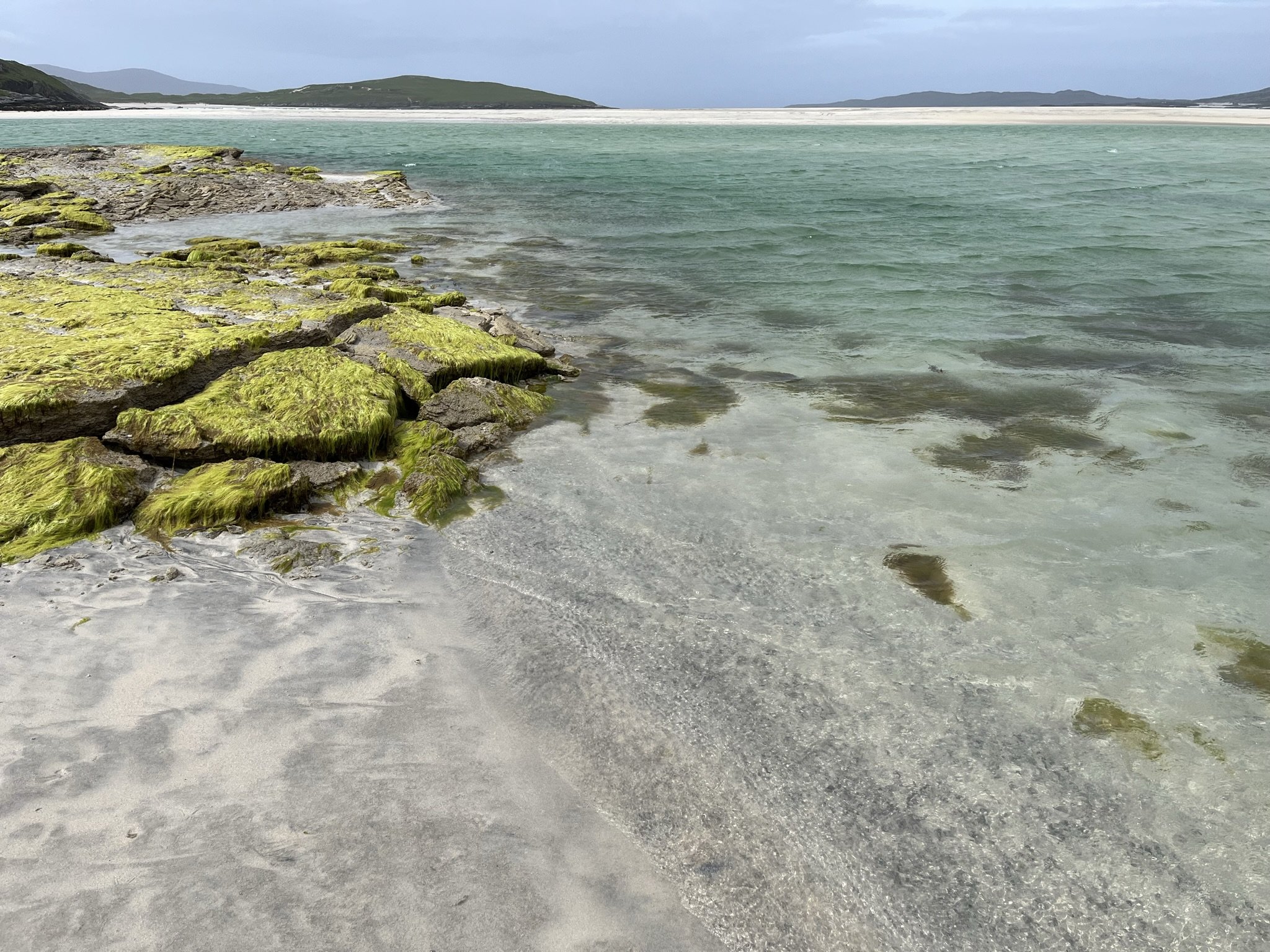
Suanne’s studio is incredibly positioned next to the postcard-perfect white sand beach of Seilebost, complete with turquoise sea whatever the weather. The name of Suzanne’s small arts business takes its name from the Lewisian Gneiss rock (pronounced “nice”) of the Western Isles. Gneiss is a common and widely distributed type of metamorphic rock, containing interesting and beautiful banded layers of different minerals - including light and dark layers formed of quartz and mica. Suzanne and her partner craft jewellery and sculpture and jewellery and have created a thriving studio-gallery space.
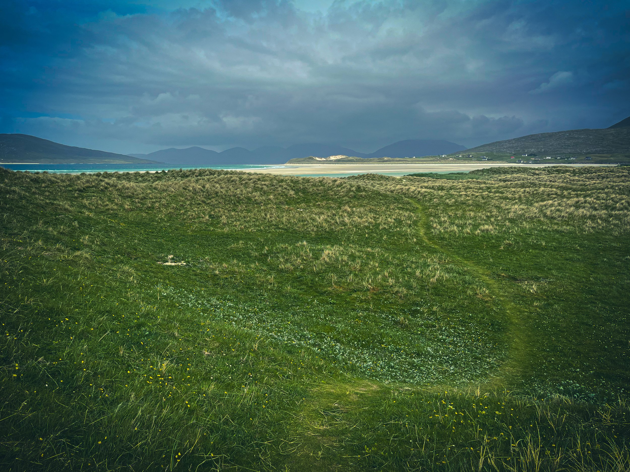
The studio is also perfectly positioned for one of the island’s other great features - machair.
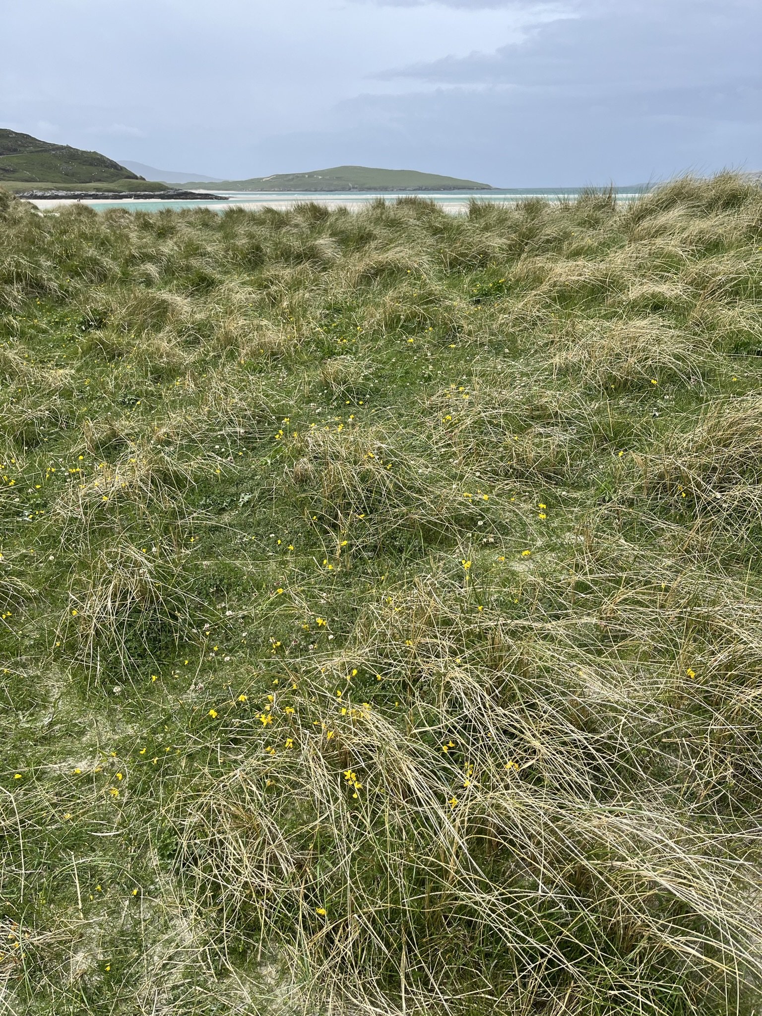
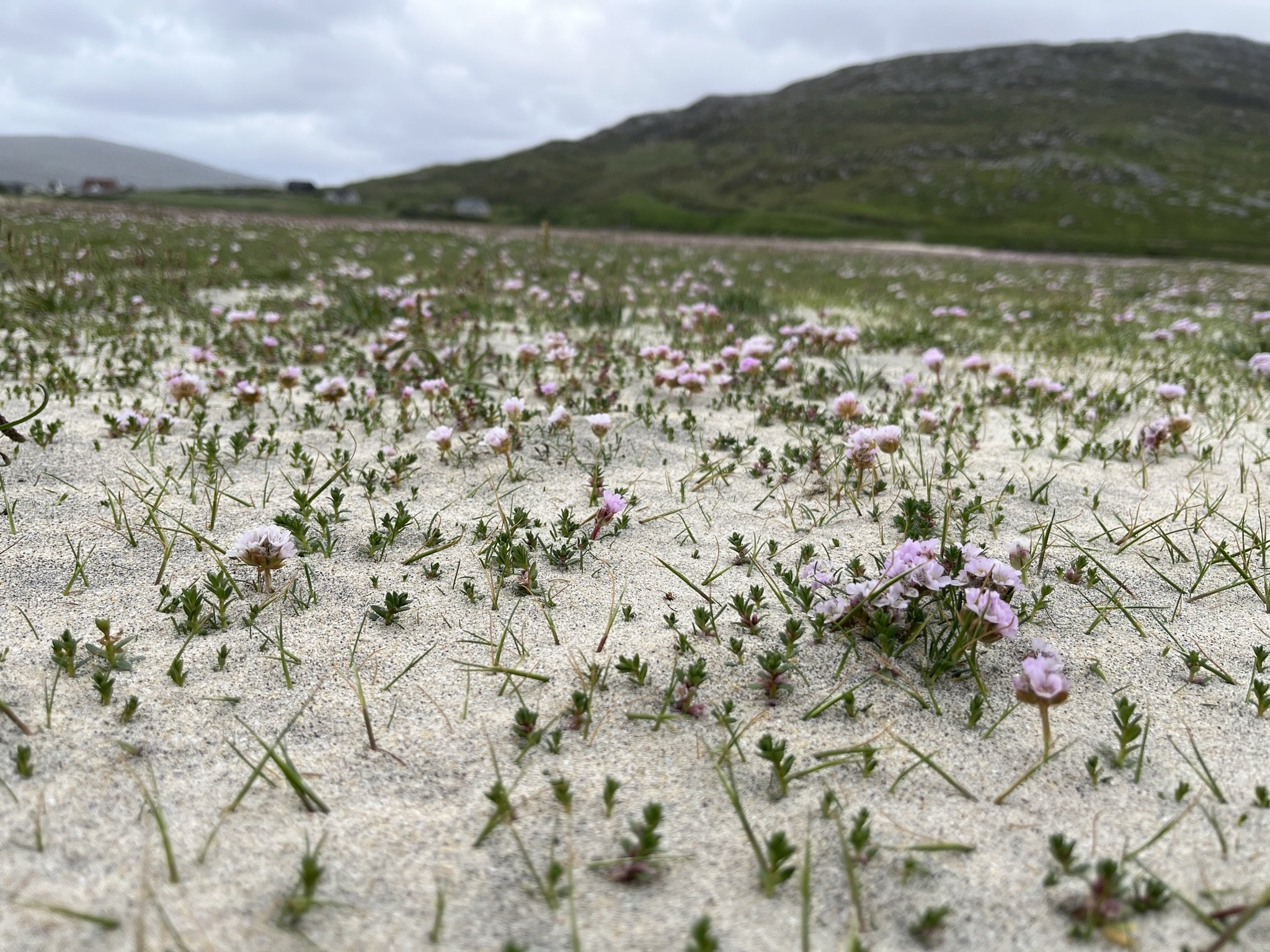
A Gaelic word meaning fertile, low-lying grassy plain, ‘machair’ refers to a unique habitat that is one of the rarest in Europe; only occurring on the exposed west-facing shores of Scotland and Ireland. Machair habitat is very similar to a fixed sand dune but is easily distinguished by its flat, or gently undulating landscape, and the variety of vegetation types and land-uses.
Common flowers (such as red clover, bird’s-foot-trefoil, yarrow and daisies) grow a lot here, along with a few rarer species such as lesser-butterfly orchid, Hebridean spotted orchid and marsh orchid. Wet hollows hold iris beds, while frequent damp patches support silverweed and ragged-Robin.
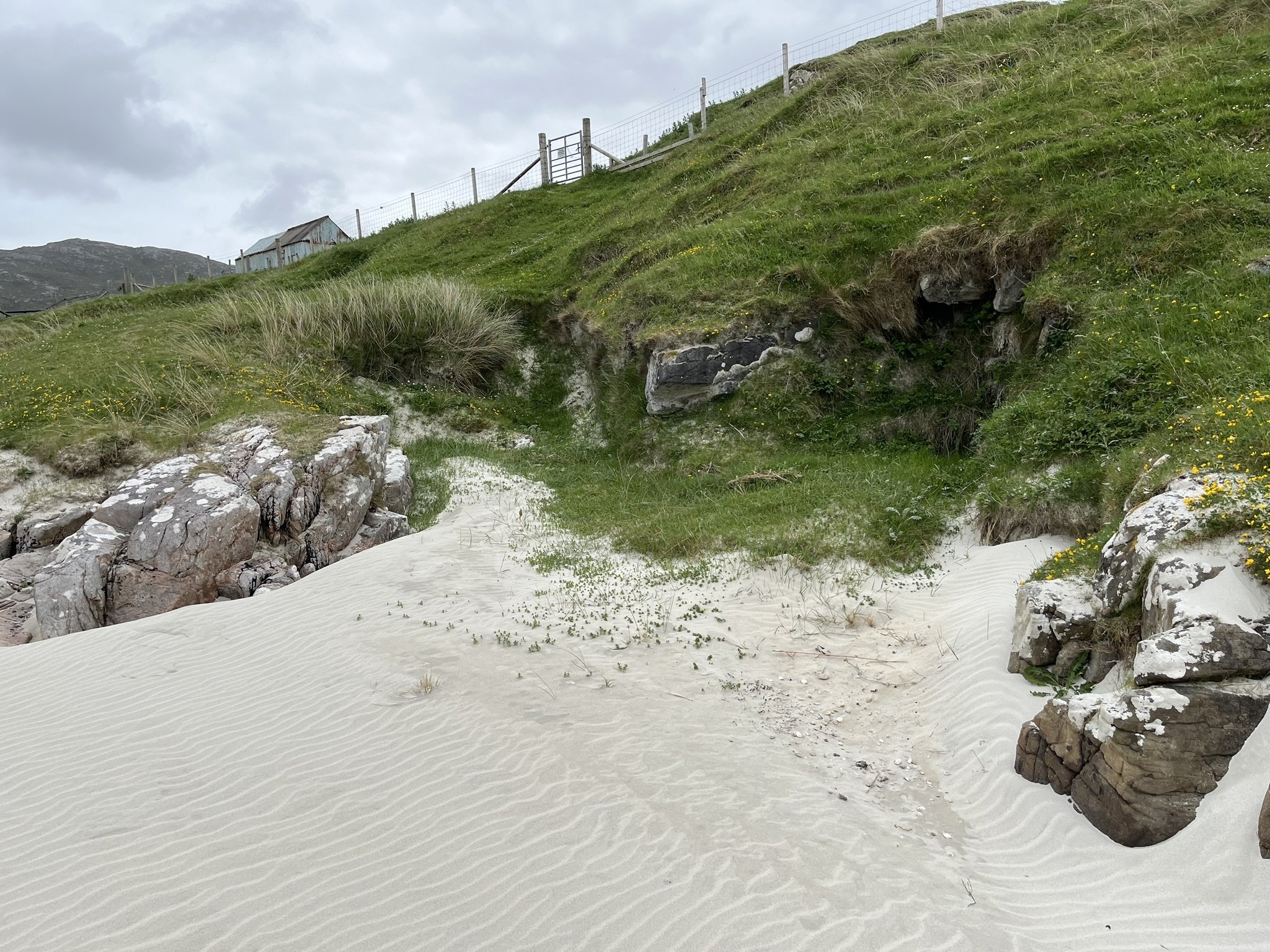
Suzanne informed me that the landscape around the studio would move through colour transitions at different times of year. We were currently in a “yellow” period, with primroses, cowslips, birds-foot-trefoil and yellow flag iris peppering the landscape through shimmering silverweed and tussocks of marram grass. The exception to this were the white bands of daises which marked pathways and disturbed ground.
Small birds flew low between the tussocks, their alarm calls carrying across the beach.
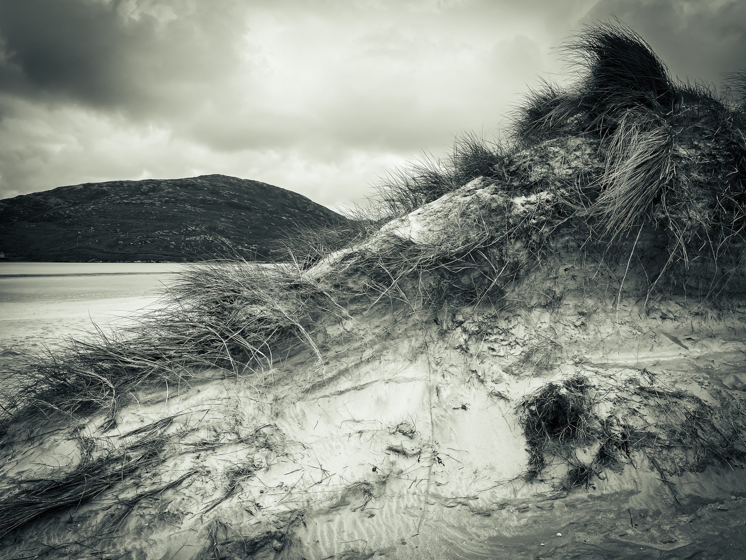
Machair is formed from lime-rich shell sand washed up thousands of years ago by the sea, and eroded from dunes by powerful winds, spreading the sand well inland.
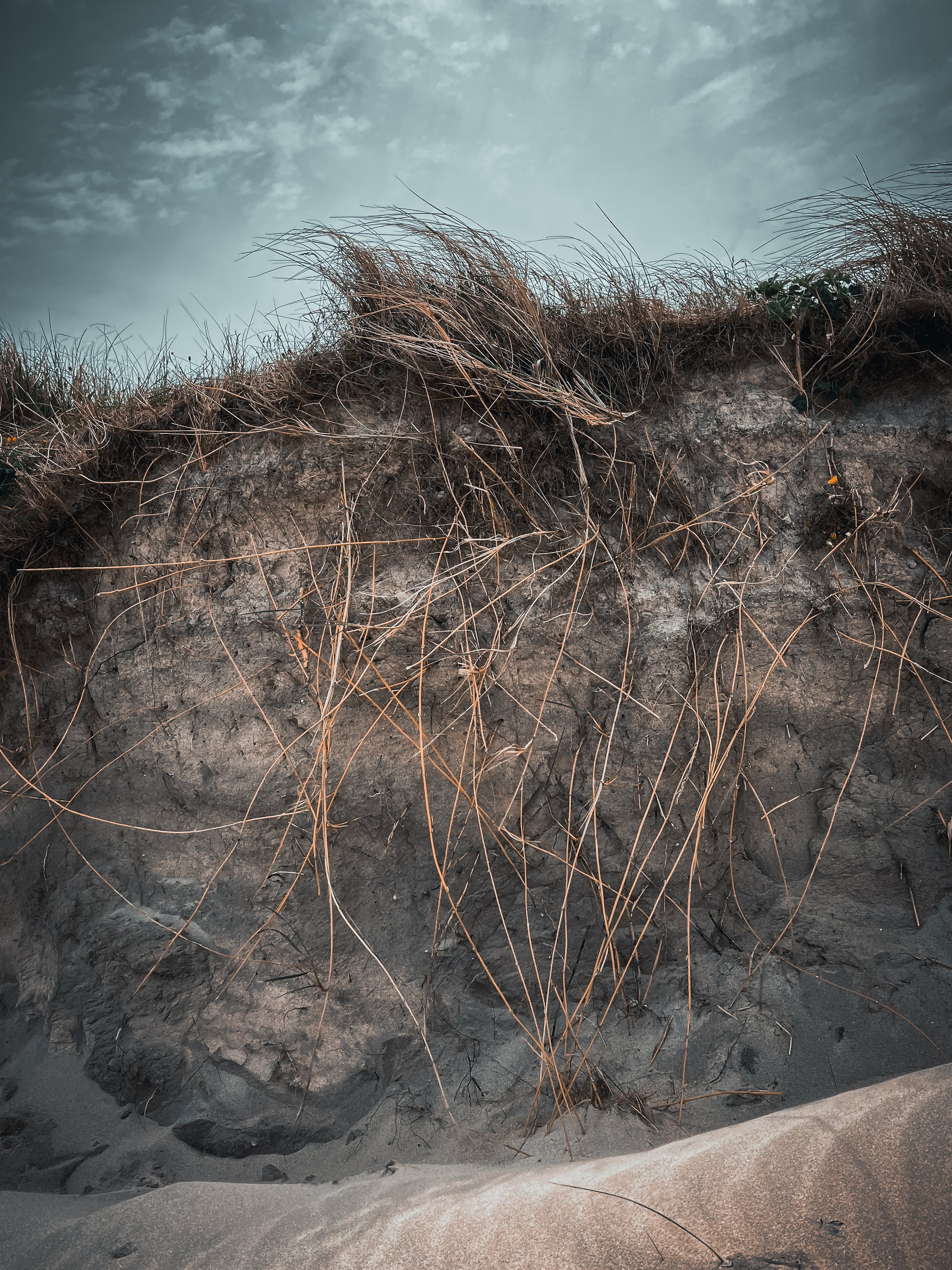
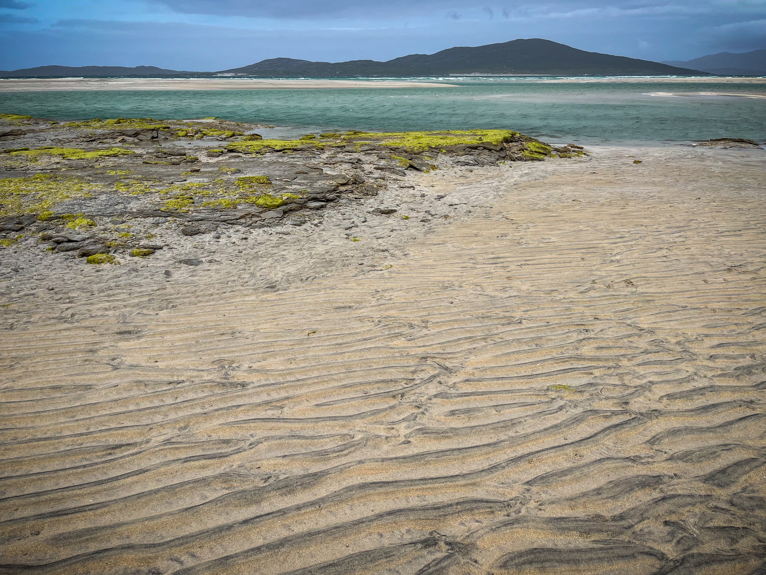
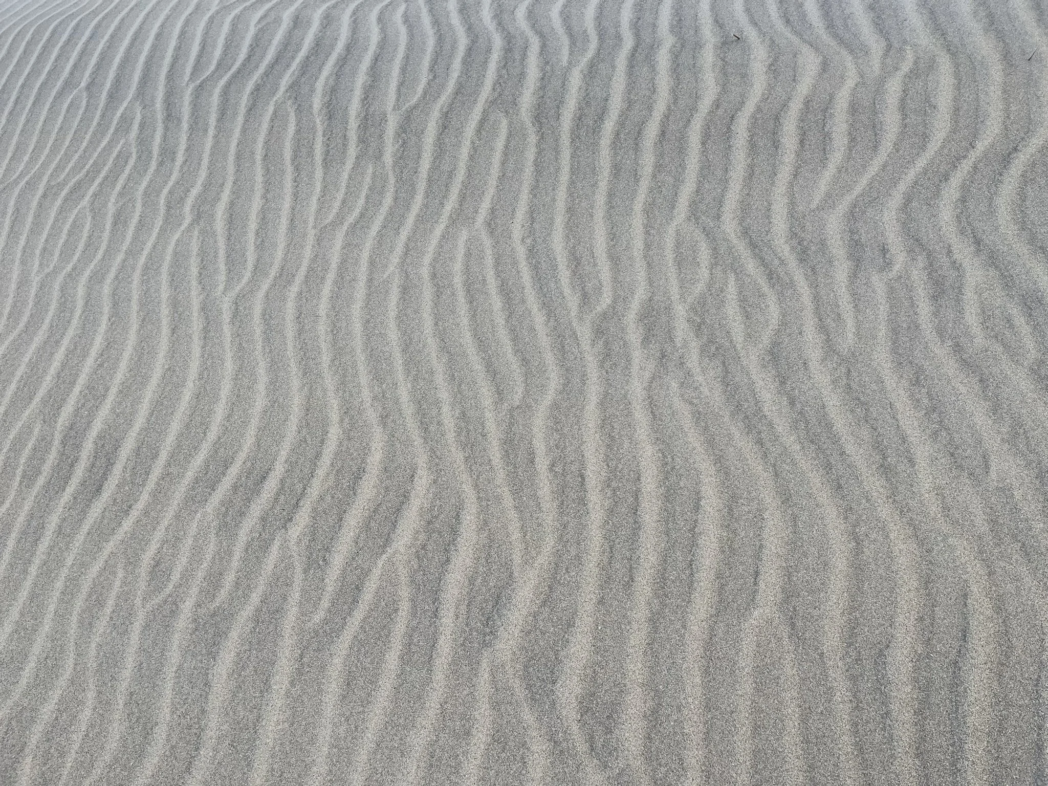
Here there was a sense of the landscape in motion. On this windy day you could almost see it happening - I watched a small shells were blown inland across the beach with silvery sand, into and onto the vegetation at the edge of the dunes. The leaves of grasses and meadow flowers battled to maintain their vantage points atop the dunes. Eventually their hardy plant bodies would decay and go back to thin soil over the sand. This was a place of cycles, bands and strata, from the gneiss rock, dark hills and wind-carved sands.
In the windy salty air, the richest colour seemed to cling to freshwater, pockets of which were marked by clumps of yellow flag iris and marsh marigold.
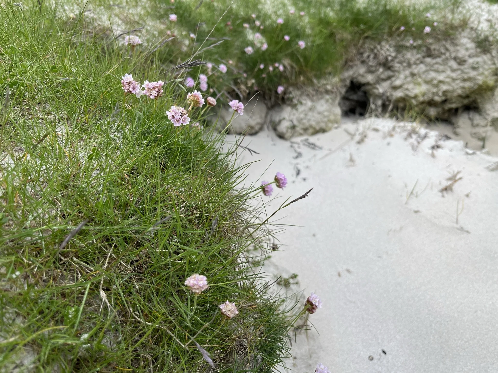
As I headed around the curve of the beach, the dunes, tussocks and grass root tendrils turned to enormous slabs of rock. Like a colony of seabirds, small flowers clung to every ledge and crevice - the bright yellows fading to soft edges of sea thrift pinky white.
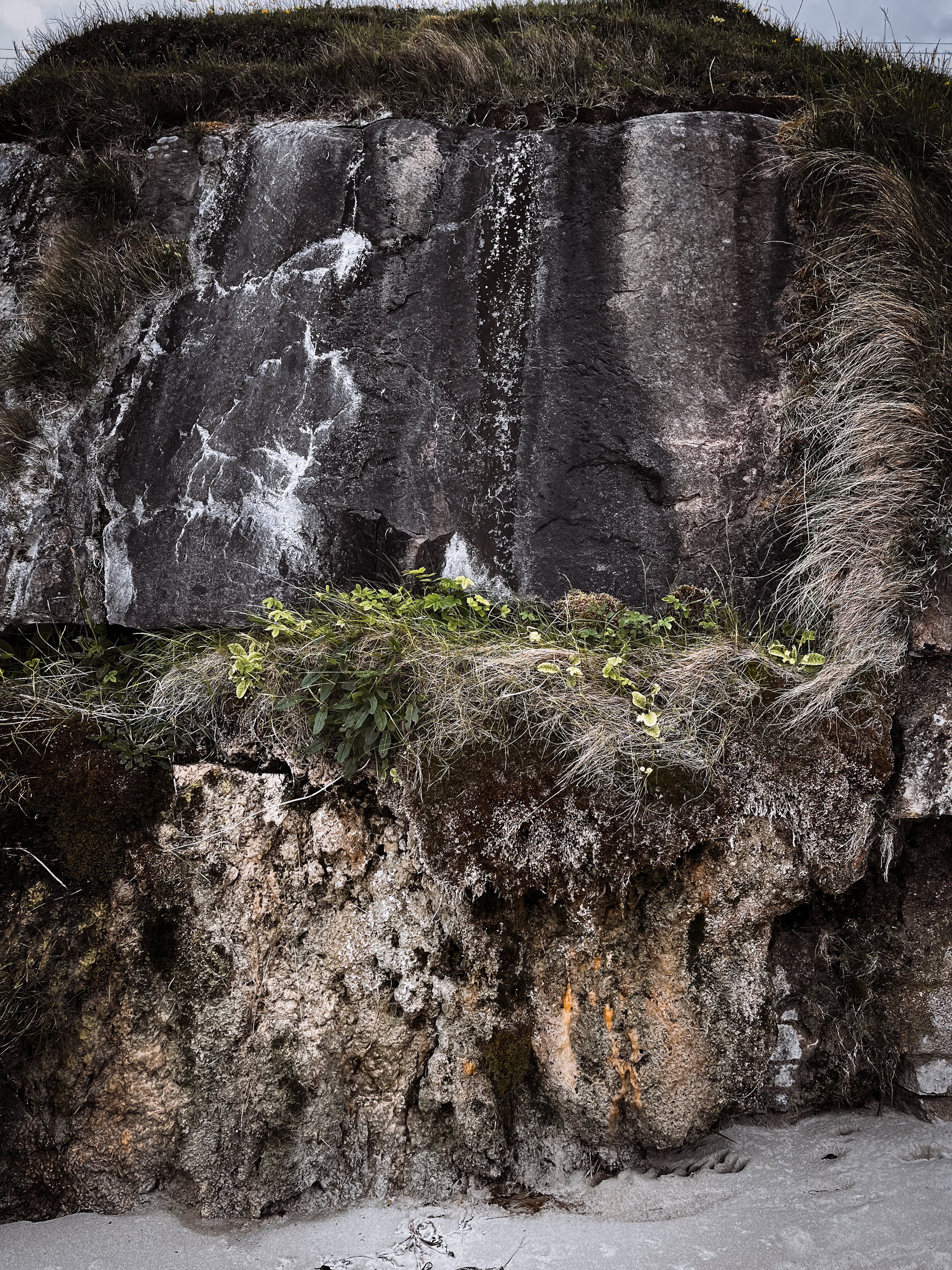
Exposed cross-sections of rock shimmering with drops of freshwater seeping down from the peaty hills above. Freshwater and saltwater meeting in bright green algae pools.
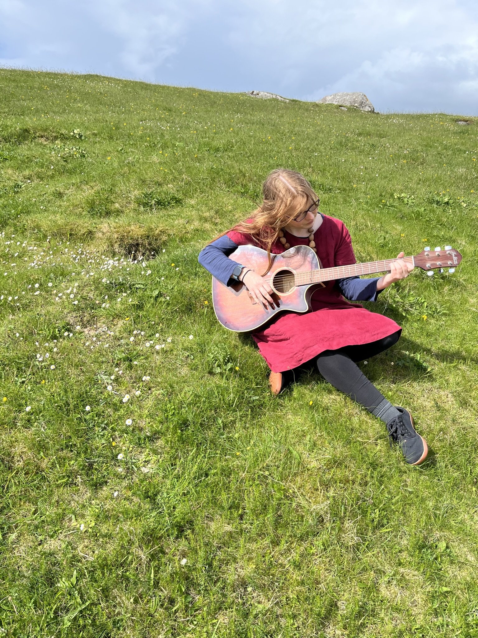
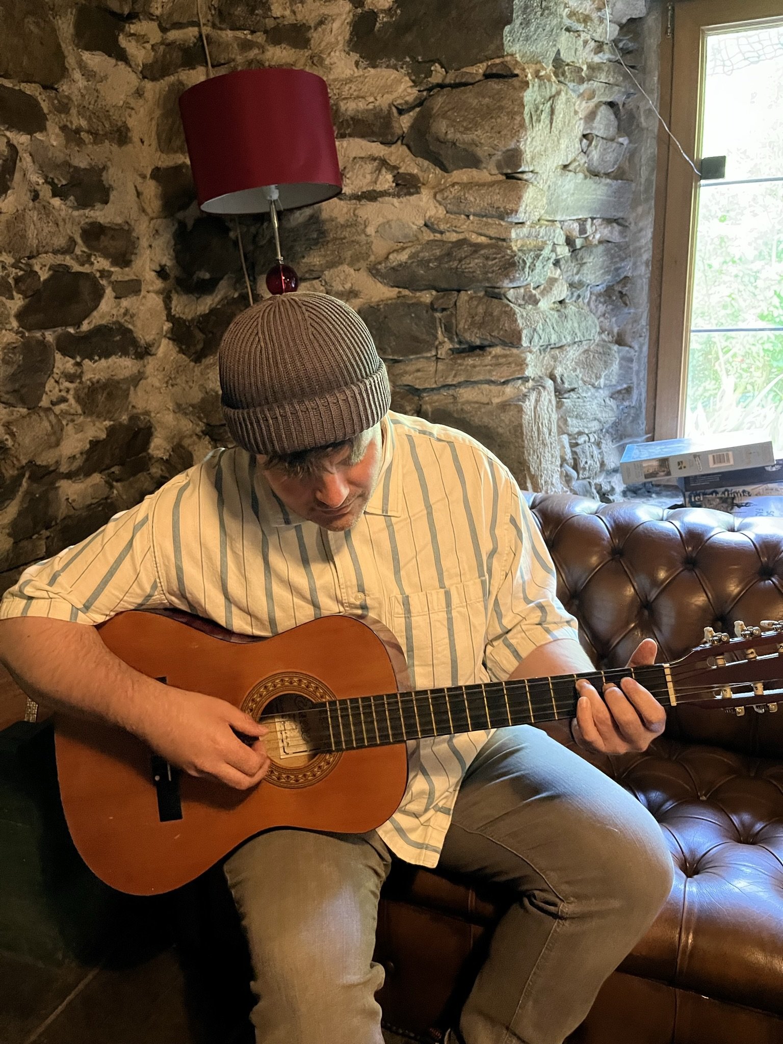
Humming and singing during our walk along the machair and beach, Suzanne and I sit to play with some song ideas.
Windswept but inspired, we decide to return to warmth and we visit other local craft studios around the village, as well as Hebrides People, a visitor and genealogy centre. Its exhibitions tell the story of the people and landscapes of Harris and the Western Isles - closely bound with the sea and geology of this place, as well as emigration, fishing and farming.
Some areas of the Machair are used for farming (e.g. for oats and rye) on rotation. Fallow plots may contain corn marigold, field pansy and poppies. Other areas are used as hay meadows. Light cattle-grazing, hay cutting and low intensity rotational crop farming (free of artificial fertilisers or pesticides) has shaped the landscape here over millennia.
Crofting seems as much a part of this landscape as the gneiss or the machair. Crofting is a system of landholding, which is unique to Scotland. There are around 20,000 crofts across the Highlands & Islands with approximately 33,000 people living in crofting households.
A croft is a relatively small agricultural land holding, which is normally held in tenancy, and which may or may not have buildings or a house associated with it.
In brief, crofting communities were a product of the Highland Clearances (see Rannoch Moor visit), though individual crofts had existed before the clearances. Previously, Highland agriculture was based on farms which had common grazing and arable open fields. Between five and ten families could work each farm as tenants.
A series of forced evictions took place in the 18th and 19th centuries. Landlords, eager to capitalise on the more lucrative sheep farming, displaced entire communities. These families were often resettled on small plots—crofts—usually in coastal or marginal areas, often on poorer quality land.
Many crofts have now been brought back into use, but ruins and abandoned buildings still litter the landscape, along with traditional blackhouses.
Blackhouses were generally built with double wall dry-stone walls packed with earth, and were roofed with wooden rafters covered with a thatch of turf with cereal straw or reed. The floor was generally flagstones or packed earth and there was a central hearth for the fire. There was no chimney for the smoke to escape through. Instead the smoke made its way through the roof. This led to the soot blackening of the interior which may also have contributed to the adoption of the name blackhouse.
Suzanne introduces me to a friend who has restored a blackhouse and has created a beautiful campsite, complete with glamping yurts. The blackhouse forms a communal space and music room for visitors. Sheltered and silent within the heavy stone walls, we pause to play with some further song ideas.
Close to home, we visit further friends who have combined arts, crafts and tourism, through the creation of glamping pods and a photography gallery.
On the final day we visit the famous Callanish Stones of Lewis, pausing to look at some snowy bog cottongrass on the way, a flowering member of the sedge family. It is a native plant of very damp peat bogs. In the past, the seed-heads have been used as a substitute for feathers in pillows and the wicks for candles. It said in Scotland the fibres were used for dressing the wounds of soldiers injured in World War One.
Located on the Isle of Lewis near today’s village of Callanish, the Callanish Stones were erected in the late Neolithic era, and were likely a focus for ritual activity during the Bronze Age. Numerous other ritual sites lie within a few kilometres.
The arrangement of standing stones are placed in a cross-like pattern with a central stone circle. The circle was built first and the avenues added later.
The reasons for their construction are not fully understood, but there is a burial cairn within the circle, containing cremation urns. This has the feeling of a place of ritual. During the Neolithic period, many communities across north-west Europe constructed large monuments of stone and earth. Callanish has both astronomical and landscape alignments.
Locally the stones are called “The False Men” - giants who had been turned to stone for refusing to convert to Christianity.
Although the place is busy with tourists, committed to seeing the stones even in the cold wind, this is a deeply spiritual place, above the waters of Loch Roag and the hills of Great Bernera. Boards displayed photos and poems by local people inspired by the stones.
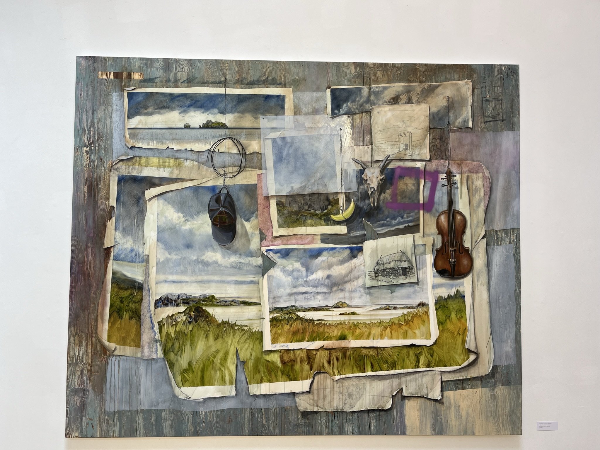
Returning to Stornoway, we visit the An Lanntair arts centre overlooking the harbour, home to a cinema, cafe and art gallery. There is an exhibition on by Alastair Gordon, “Lost on the machair”, concerning the geo-political history of his native Scotland. The work compares romantic perceptions of the Scottish Highlands with the brutal reality of the aftermath of the Highland Clearances. This was his first major solo presentation in a public institution.
Some of Suzanne’s prints are also on display in the mezzanine for an exhibition celebrating local wildlife-inspired artists. Her work highlights the area’s association with whaling. Earlier in the visit we had passed the ruins of the old whaling station at Bun Abhainn Eadarra in north Harris - the most substantial remains of any such whaling station in the northern hemisphere. Whalers moved from country to country, and later ocean to ocean in pursuit of the whales, without apparently ever questioning whether their own activities were the cause of the growing scarcity of the whales.
Before heading to the airport we visit the museum and archive in the Castle, which was closed on our first visit. It is a fascinating collection, complete with an immersive videography space - showing a 10 minute film exploring the landscape of the islands through all seasons.
Characterful replicas of the famous Lewis Chessmen are on display. This group of eleven medieval chess pieces were part of a large hoard buried on the Isle of Lewis. They were found in a sand dune in Uig. The hoard contained 93 gaming pieces in total, including from at least four chess sets as well as other games. They were probably made in the late 12th or early 13th century in Norway and provide fascinating insights into the international connections of western Scotland and the growing popularity of chess in medieval Europe. They consist of finely worked walrus ivory and whale teeth.
A taxidermy “corncrake in the machair” catches my eye, as do an interesting selection of Neolithic flint and quartz arrowheads and 19th century heather rope. A cast iron cooking pot is complete with replica sheep’s head and selection of bird’s eggs. A group of spindle whorls were used as charms against bad luck in this highly superstitious place.
A line of text on the wall reads “What comes with the wind, will go with the rain” - a proverb, usually originating from Gaelic culture, meaning that something that appears quickly or temporarily, like something carried by the wind, will also disappear quickly, just as rain washes away things on the ground; essentially, it signifies that fleeting things won't last.
My visit to this beautiful and fascinating landscape was at an end. It was time to return to the city.
Looking down on the barren-looking islands from the air, I had an incredible new appreciation of the richness of this special place.
